The Certificate in Autodesk Civil 3D is an intensive, skills-oriented program designed to give you a strong foundation in using AutoDesk Civil 3D for real-world civil engineering projects. Civil 3D is a powerful solution that supports Building Information Modeling (BIM) workflows and is widely used for corridor design, surface modeling, pipe networks, grading, and more.
This format compresses essential learning into 40 hours, making it ideal for students and professionals who want to accelerate their proficiency and apply it directly to their work or further studies
What You’ll Learn
By the end of this intensive course, you will be able to:
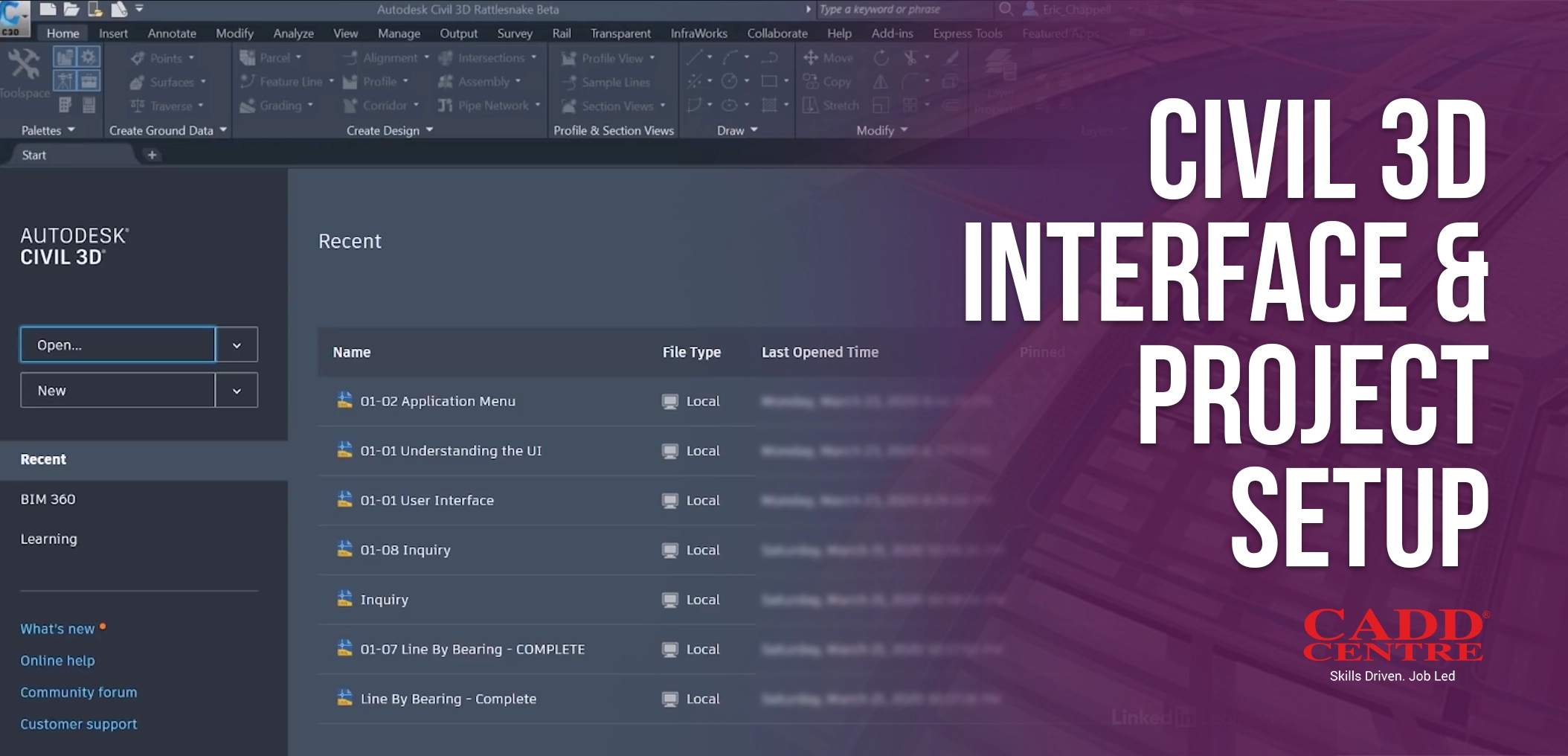
Navigate the Civil 3D interface
Navigate the Civil 3D interface and core modeling tools
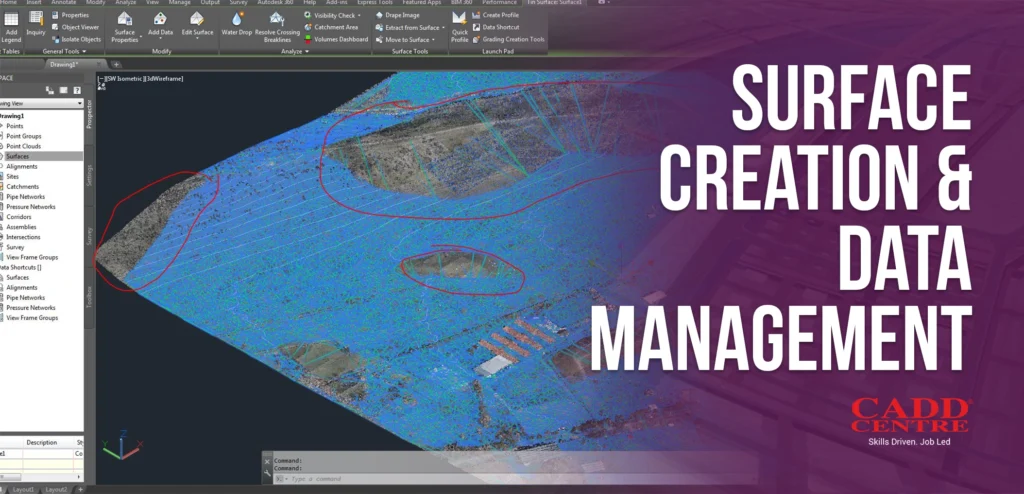
Create and Manage Surfaces
Create and manage surfaces from survey data, contours, and point files.
Build and edit corridor models
Build and edit corridor models for highways, railways, and other linear infrastructures.
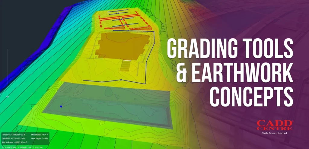
Apply grading tools
Apply grading tools for terrain and finished ground design.
Design pipe networks
Design pipe networks for stormwater and sanitary systems.
Generate alignments
Generate alignments, profiles, and cross sections for project documentation.
Produce annotated drawings
Produce annotated drawings and dynamic tables.
Training Format
Mode
Hands-On Practical Training
Duration
40 Hours
Level
Beginner to Intermediate
Hands-On Practice
Project-based learning with real Civil 3D exercises and scenarios
Course Fee & Enrollment
LKR 57,000
All fees are non-refundable
Flexible installment plans available
Register now to unlock practical civil design skills and accelerate your technical proficiency in Autodesk Civil 3D.
The curriculum covers key Civil 3D topics that are essential for civil design and drafting workflows:
This module introduces the Civil 3D working environment, interface layout, and essential navigation tools used in real-world civil projects. Learners will understand how to configure drawing templates, units, coordinate systems, and object styles based on project requirements. It also covers setting up data shortcuts and project standards to ensure consistency across drawings. By the end of this module, students will be able to start and manage Civil 3D projects efficiently and correctly.
This module focuses on creating accurate terrain surfaces using survey points, contours, breaklines, and imported data. Learners will manage surface styles, boundaries, and edits to represent existing ground conditions correctly. The course also covers surface analysis tools such as elevation, slope, and contour analysis. Students will gain practical skills to modify and update surfaces as design data changes.
In this module, students learn how to create corridor models for roads and other linear infrastructure projects. It covers the use of alignments, profiles, assemblies, and subassemblies to build dynamic corridor models. Learners will understand how corridors respond automatically to design changes and how to manage multiple corridor regions. This module prepares students to handle
This module introduces grading tools used for site development and earthwork design. Students will learn how to create pads, slopes, and grading objects while applying cut-and-fill principles. The module also explains how grading affects surface creation and volume calculations. By the end, learners will be able to design practical grading solutions that meet site and construction requirements.
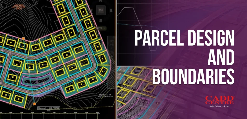
This module covers parcel creation and management for land subdivision and layout planning. Learners will define parcel boundaries, areas, and annotation styles accurately. The course explains parcel topology, parcel segments, and labeling techniques. Students will be able to represent real-world land ownership and planning layouts clearly within Civil 3D.
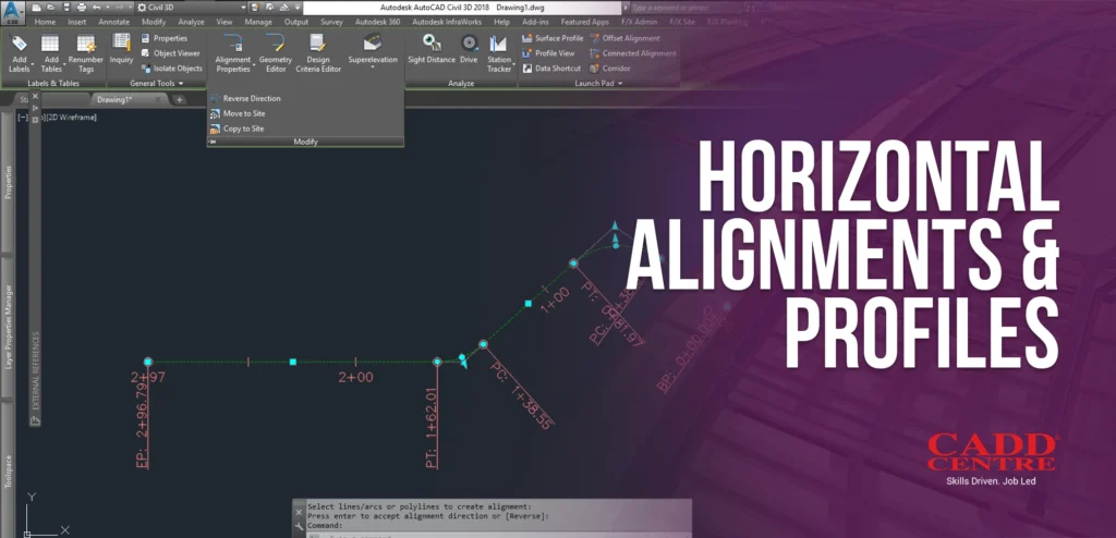
This module teaches the creation and editing of horizontal alignments used in road and site designs. Learners will generate existing and proposed ground profiles from surface data. The course also covers modifying alignment geometry and controlling profile elevations. Students will gain the ability to design accurate and compliant alignment and profile layouts.
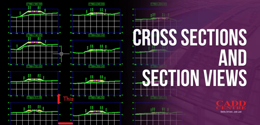
This module focuses on generating cross sections along alignments at specified intervals. Learners will visualize terrain, corridors, and design elements in section views. The module explains section style settings and data representation. These skills help students analyze designs and prepare sectional drawings for construction use.
This module introduces the design of stormwater and sanitary pipe networks using Civil 3D tools. Students will place pipes and structures based on predefined rules and design criteria. The module covers slope control, invert levels, and network connectivity. Learners will be able to design and review utility networks efficiently.
This module covers the use of dynamic labels that automatically update when design elements change. Learners will customize label styles for alignments, profiles, pipes, surfaces, and parcels. The importance of maintaining drawing accuracy through revisions is emphasized. Students will be able to produce clear and reliable annotated drawings.
This module focuses on producing construction-ready drawings from Civil 3D models. Learners will create plan, profile, and section sheets using automated tools. The module covers view creation, sheet layout, and plotting standards. Students will gain the skills required to prepare professional documentation for project submission.
Who Is This For?
This certificate is ideal for:
Srudents
Civil engineering students and graduates preparing for industry workflows.
Professionals
Professionals in surveying, infrastructure design, and mapping roles.
Designers and Technicians
Designers and technicians who need practical Civil 3D skills in a short time
Career Changers
Anyone seeking a fast-paced, hands-on certification in a leading civil design tool
Certification & Benefits
Upon successful completion, you will receive:
✔ International CADD Centre Certificate – a credential recognised by industry professionals and employers.
✔ Practical experience with Civil 3D that you can showcase in portfolios and projects
This certificate demonstrates your ability to efficiently use Autodesk Civil 3D for design, modeling, drafting, and documentation in civil engineering contexts
Why Choose This Program
This certificate is ideal for:
01
Accelerated learning
Anyone seeking a hands-on certification in a leading civil design tool
Industry-aligned curriculum
Designed for practical application in professional engineering contexts.
02
Instructor-led sessions
Gain insights from experienced trainers with real project experience.
03
Certification advantage
A recognised credential to support your career growth and academic progress.